What to do
Vall Fosca i Vall de Manyanet
Manyanet lakes
| Starting point: |
Manyanet |
| Finish point: |
Manyanet |
| Distance: | 19 km |
| Time: | 5 h 45 min |
| Ascent: | 900 m |
| Decline: | 900 m |
| Difficulty: | Medium |
| Interest: | High (Alpine landscape) |
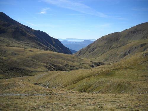
Description
Leaving the village of Manyanet there are two options:
- Drive through the mountain track during 3 km (4x4) until you get to a chain blocking your way.
- Walk from Manyanet, cross the village heading north and take the same mountain track.
Both walking or diving, the itinerary will follow the same trail. Walk along the Manyanet river on your right side and go up until you find the crossing with the big ravine. Follow it and stay in the main track until you reach the Coma del Estanyets.
From here you can start the circular trail around the Manyanet lakes and go back to the Coma del Estanyets. To go back to the starting point of the route follow the same trail back.
Route map
Mostra Els llacs de Manyanet en un mapa més gran
Related documents